Custom Backpacking & Slack-packing Itineraries


Highlights
Katahdin Adventure Co. specializes in professionally organized trips into the Maine Wilderness. We offer both guided and unguided trips.
Appalachian Trail Hostel & Outfitters is the closest dedicated hiker service to the northern-half of the 100-Mile Wilderness, providing lodging, for-hire shuttle service, equipment rentals, and food resupply for these custom trips.
If you are considering a Wilderness adventure, we can help you plan out the logistics, including which hike will fit your timeline, the best locations to get on/off the trail, and more.
Our service is for those seeking either a guided or fully supported un-guided adventure, which includes trip planning, detailed itineraries, logistics management, and more. If you are interested in a basic backpacking adventure where you only need transportation at the start/finish and food drop service at the mid-point, please submit your request through the Appalachian Trail Hostel & Outfitters website.
Trailheads & Distance From Katahdin
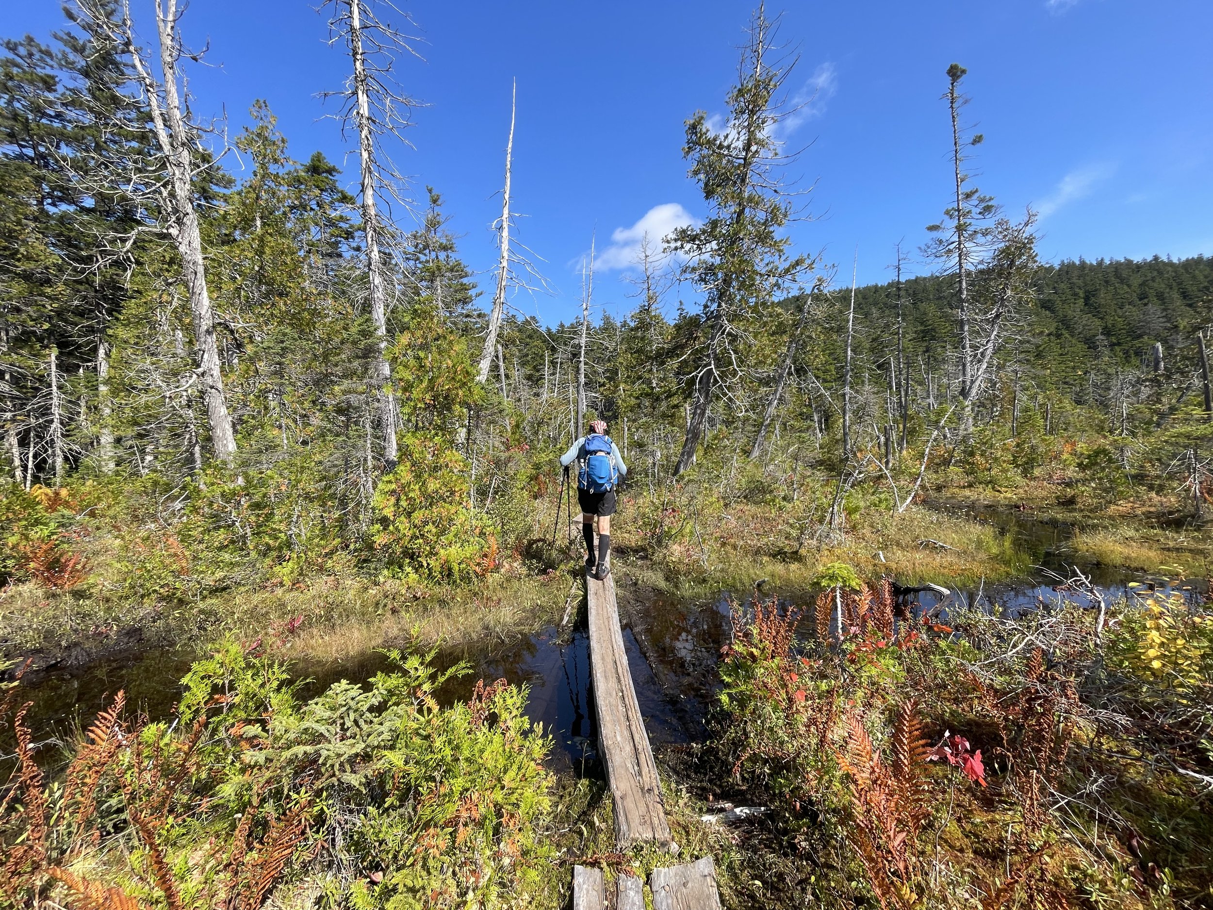
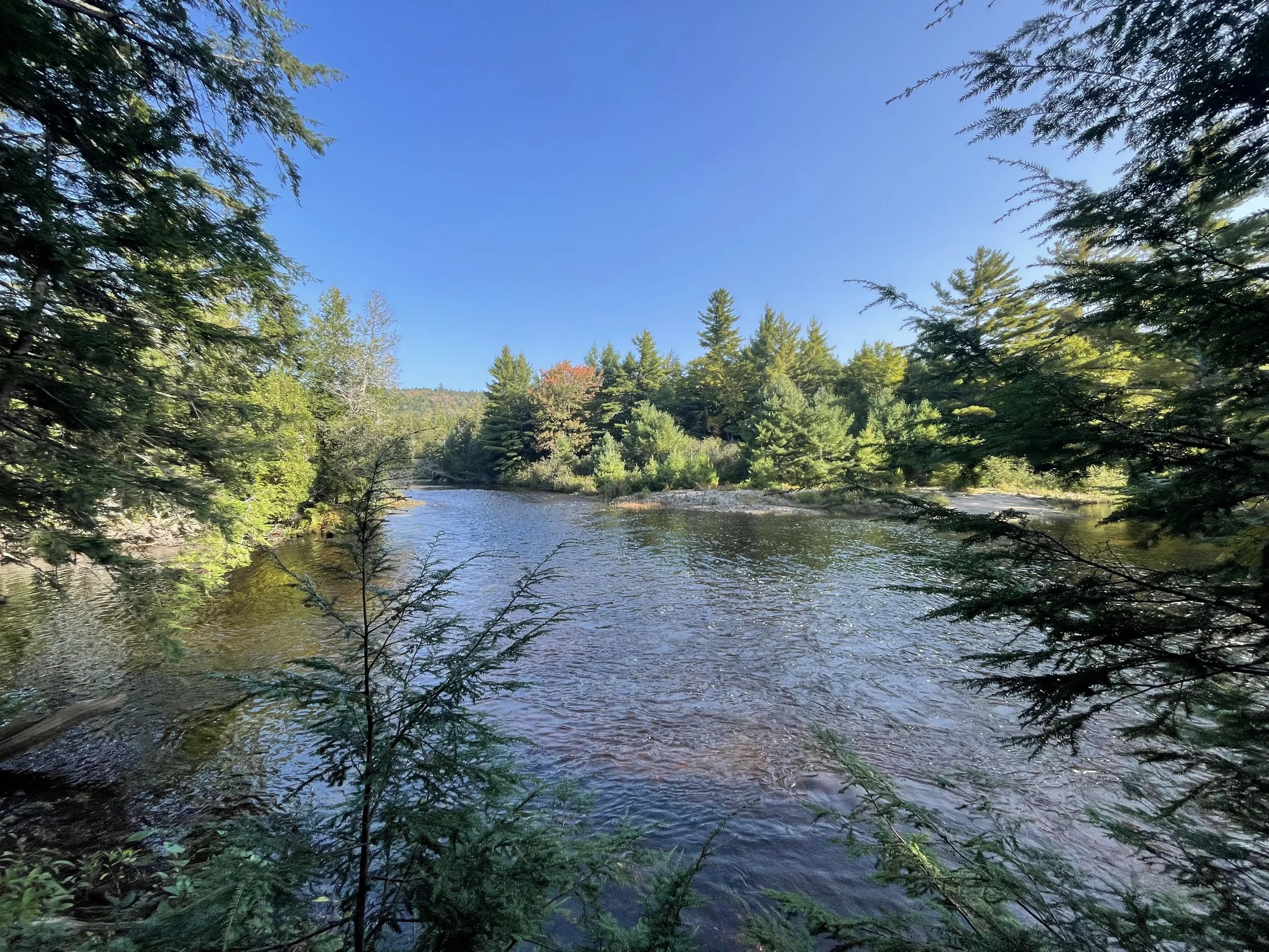
The 100-Mile Wilderness spans from Abol Bridge to Maine Route 15, covering approximately 99.6 miles. Those wishing to hike Baxter State Park & Katahdin can hike the 15.1 miles from Abol Bridge to Baxter Peak on Katahdin, then choose from several routes down the mountain. We suggest using the Abol Trail for a roughly 4 mile descent of Katahdin.
Mile 0.00 - Baxter Peak, Katahdin
Mile 5.20 - Katahdin Stream Campground
Mile 15.1 - Abol Bridge
Mile 32.6 - Pollywog Stream
Mile 35.1 - Wadleigh Pond Road
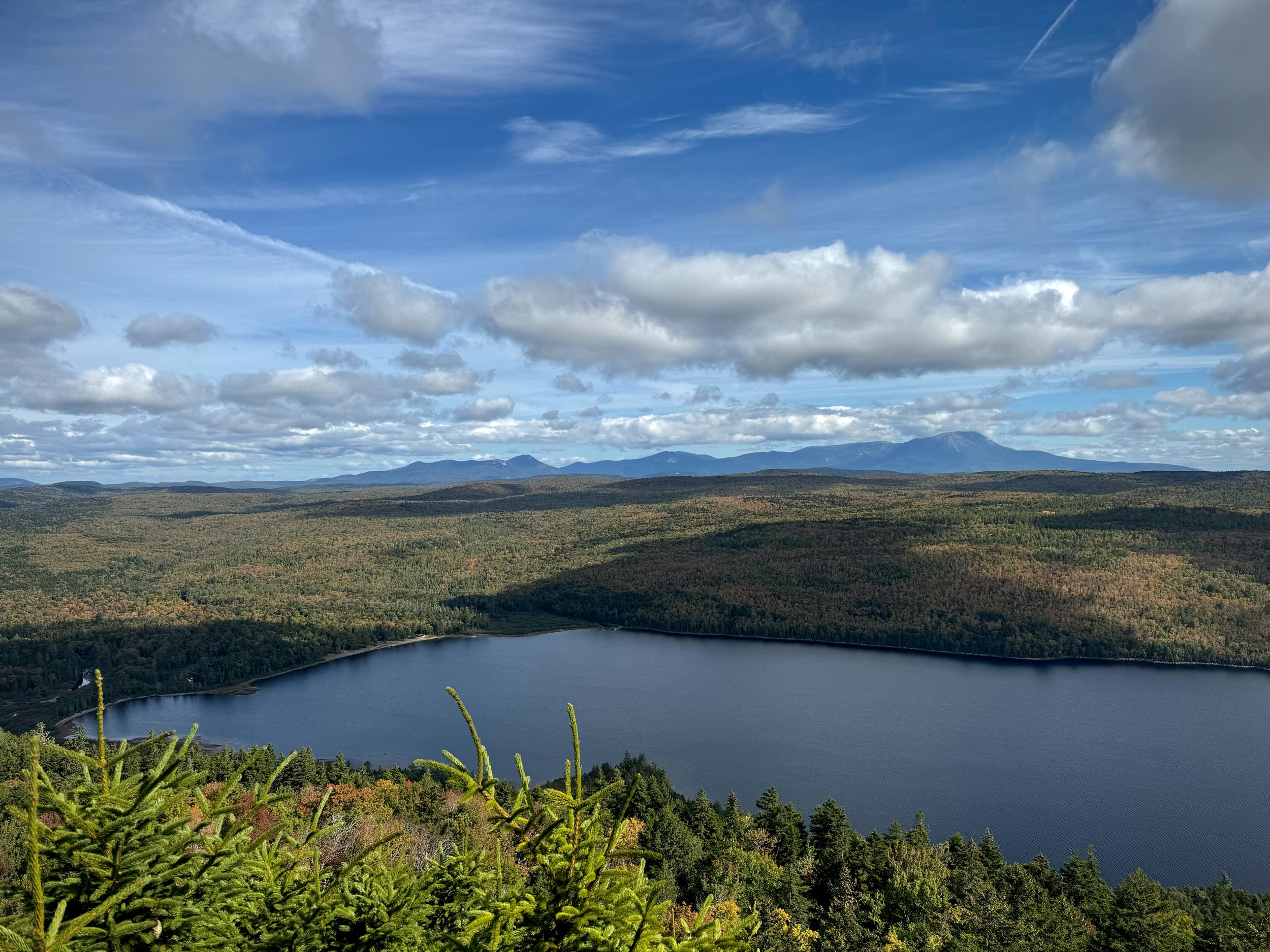
Mile 41.0 - Nahmakanta Lake
Mile 56.0 - Jo-Mary Rd (Cooper Brook)
Mile 63.1 - Johnson Pond Rd (Crawford Pond)
Mile 69.8 - Logan Brook (West Branch Ponds Rd)
Mile 84.6 - Katahdin Ironworks Rd (KI Road)
Mile 99.4/100.4 - Otter Pond Parking
Mile 114.7 - ME Route 15
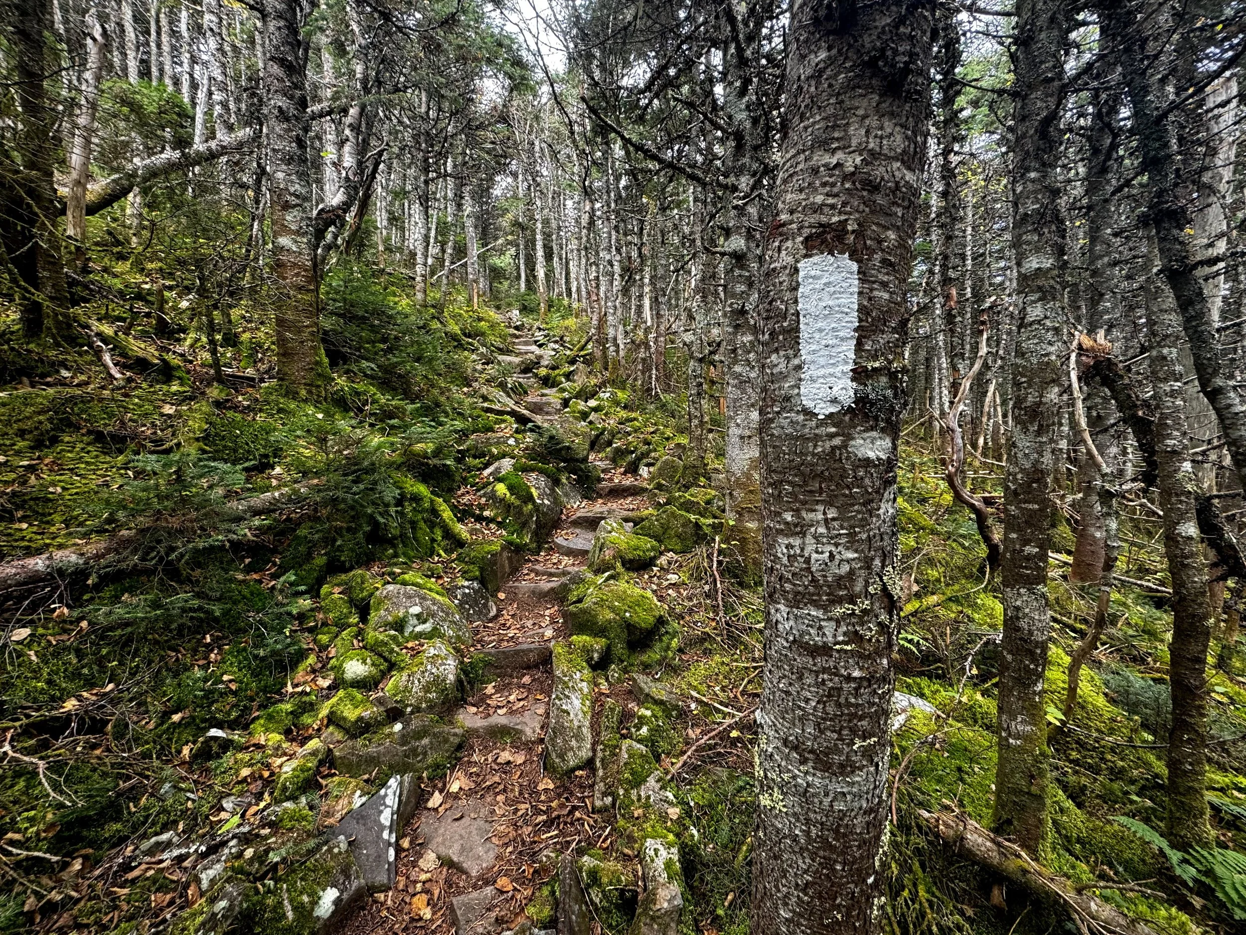
The 100-Mile Wilderness lies within the North Maine Woods. Access to trailheads from Pollywog Stream to KI Road require passing through gated check-points. These gates require day-use fees dependent on the number of people and direction of travel. Gate fees are $18 per person for non-residents, $13 per person for residents, and $0 for 70 and older.
Suggested Hikes
These hikes are good for both slack-packers & overnight backpackers. For all hikes beginning or ending at Katahdin, you should include the appropriate ascent/descent mileage on to the suggestions below. These suggestions would bethe best options for getting the most out of your time based on how many days you plan to be in the Wilderness.
1 Day
Jo-Mary Rd to Nahmakanta Lake = 15.0 miles
2 Days
Jo-Mary Rd to Pollywog Stream = 23.4 miles
3 Days
Pollywog Stream to Katahdin Summit = 32.6 miles
Jo-Mary Rd to Abol Bridge = 40.9 miles
4-5 Days
Nahmakanta to Katahdin Summit = 41.0 miles
Johnson Pond Rd to Abol Bridge = 48.0 miles
Jo-Mary Rd to Katahdin Summit = 56.0 miles
5-6 Days
Johnson Pond Rd to Katahdin = 63.1 miles
Katahdin Ironworks Rd to Abol Bridge = 69.5 miles
7-8 Days
Katahdin Ironworks Rd to Katahdin Summit = 84.6 miles
8-9 Days
ME Route 15 to Abol Bridge = 99.6 miles
9-10 Days
ME Route 15 to Katahdin Summit = 114.7 miles
Plan a Trip
Send us an email and we will help you through the process of setting up your epic adventure in the 100 Mile Wilderness.